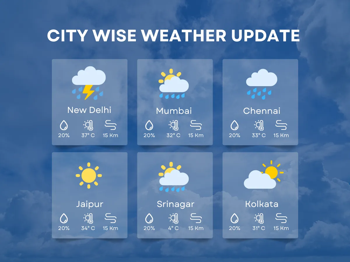
What does the weather forecast hold for Jalandhar? The city is currently experiencing intermittent rains due to an active Western Disturbance, with the India Meteorological Department (IMD) issuing an Orange Alert for the region.
As the weather system approaches, strong winds are expected to sweep through Jalandhar, blowing at speeds of 40 to 50 kmph and occasionally gusting up to 60 kmph. This sudden shift in weather is not just a minor inconvenience; it carries significant implications for local agriculture and daily life.
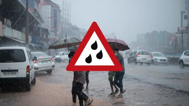
Moderate to heavy thundershowers are anticipated to begin tonight and continue through tomorrow noon, raising concerns among residents and farmers alike. A notable drop in temperature has already been observed, with a decrease of 2 to 4 degrees Celsius, pushing the maximum temperature to a forecasted 28°C and the minimum to 18°C.
Farmers in the area are being advised to refrain from watering their crops or spraying pesticides until the weather stabilizes, as the impending thunderstorms and hailstorms could severely impact agricultural activities.
This weather event is part of a broader pattern, as a significant weather shift is approaching India due to the potent Western Disturbance. The implications of this system extend beyond Jalandhar, affecting various regions across the country.
As the situation develops, residents are urged to stay updated with the latest forecasts and heed warnings from local authorities. The unpredictability of such weather patterns adds an element of uncertainty, leaving many to wonder how long this turbulent weather will last.
Details remain unconfirmed as the IMD continues to monitor the situation closely, providing updates as new information becomes available. For now, Jalandhar braces itself for the stormy weather ahead, with both excitement and apprehension in the air.