The wider picture
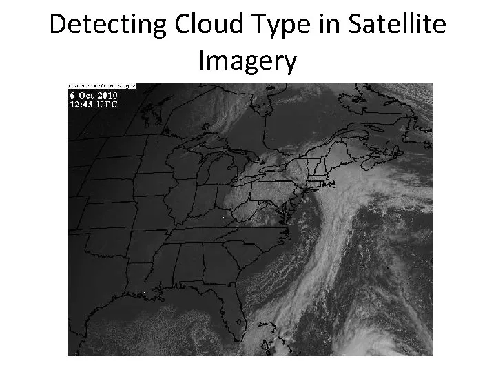
The western disturbance is a periodic weather phenomenon originating over the Mediterranean region, known for its ability to bring substantial changes to the weather patterns in northern India. As this system moves eastward, it has been observed that a massive cloud formation, stretching nearly 1,000 kilometres, has developed across parts of India and Pakistan. Recent satellite images captured by the India Meteorological Department (IMD) reveal this dense cloud band, which is indicative of a significant weather system on the move.
Meteorologists have noted that such large-scale cloud buildup is typically associated with strong moisture incursion and atmospheric instability. The IMD has issued warnings that the western disturbance is expected to bring widespread rainfall, thunderstorms, and gusty winds across several north-western states, including Jammu and Kashmir, Himachal Pradesh, Punjab, Haryana, and parts of Rajasthan. The cloud cover is a clear sign of the impending weather changes that could impact daily life in these regions.
According to the IMD, residents and farmers are advised to stay alert, as the rainfall could significantly affect standing crops and disrupt daily activities. Initial forecasts suggest that moderate to heavy rainfall is likely in isolated pockets, accompanied by lightning and short-duration intense showers. The potential for hailstorms and sudden temperature drops adds to the urgency of the situation, particularly over the plains and foothills of the Himalayas.
The IMD has indicated that winds could reach speeds of 40-50 km/h, further complicating the weather scenario. Urban areas may face challenges such as waterlogging and traffic disruptions if intense rainfall occurs in quick succession. The interaction between the western disturbance and local weather patterns will be crucial in determining the intensity and spread of rainfall over the next 48 to 72 hours.
As the situation evolves, meteorologists emphasize the importance of monitoring these developments closely. They state that large-scale cloud formations often indicate high moisture inflow and atmospheric instability, which are key conditions for rainfall and severe weather events. The rainfall is expected to bring a brief drop in temperatures across northern India, offering a temporary respite from the heat.
Weather agencies continue to monitor the evolving system and have advised residents and farmers to stay updated with official advisories as the weather disturbance moves across the region. With the potential for significant weather changes, the IMD is working diligently to provide timely updates and forecasts to mitigate any adverse impacts on the population.
As observers keep a close eye on the situation, the implications of this weather system are becoming increasingly clear. The rainfall could have far-reaching effects on agriculture and daily life, highlighting the critical need for preparedness in the face of nature’s unpredictability. Details remain unconfirmed as the situation develops, but the IMD’s proactive measures aim to keep the public informed and safe during this significant weather event.